Understanding the 85-Acre Embassy Biome Southern Reserve Master Plan
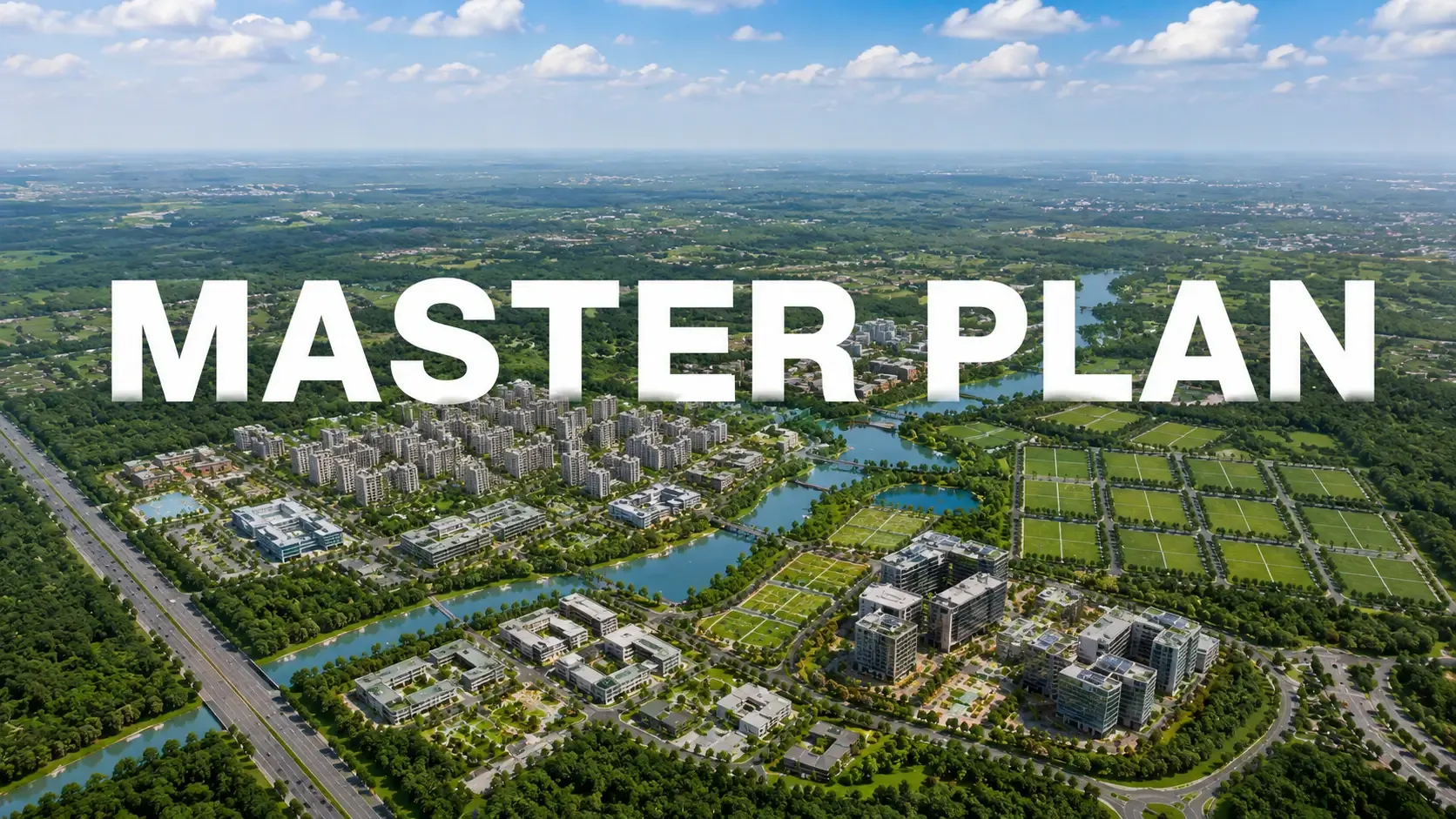
Detailed walkthrough of the 85-acre Embassy Biome Southern Reserve master plan — land-use distribution, spinal road geometry, and cohort-specific.
Master plan diligence at Embassy Biome Southern Reserve matters more than at standalone residential developments because the residential phase structure shapes daily life across decades. The 85-acre master plan is engineered around specific land-use decisions that compound across ownership horizons. Understanding these decisions before booking is the most consequential pre-commitment diligence step for serious buyers.
Land-Use Programme Distribution
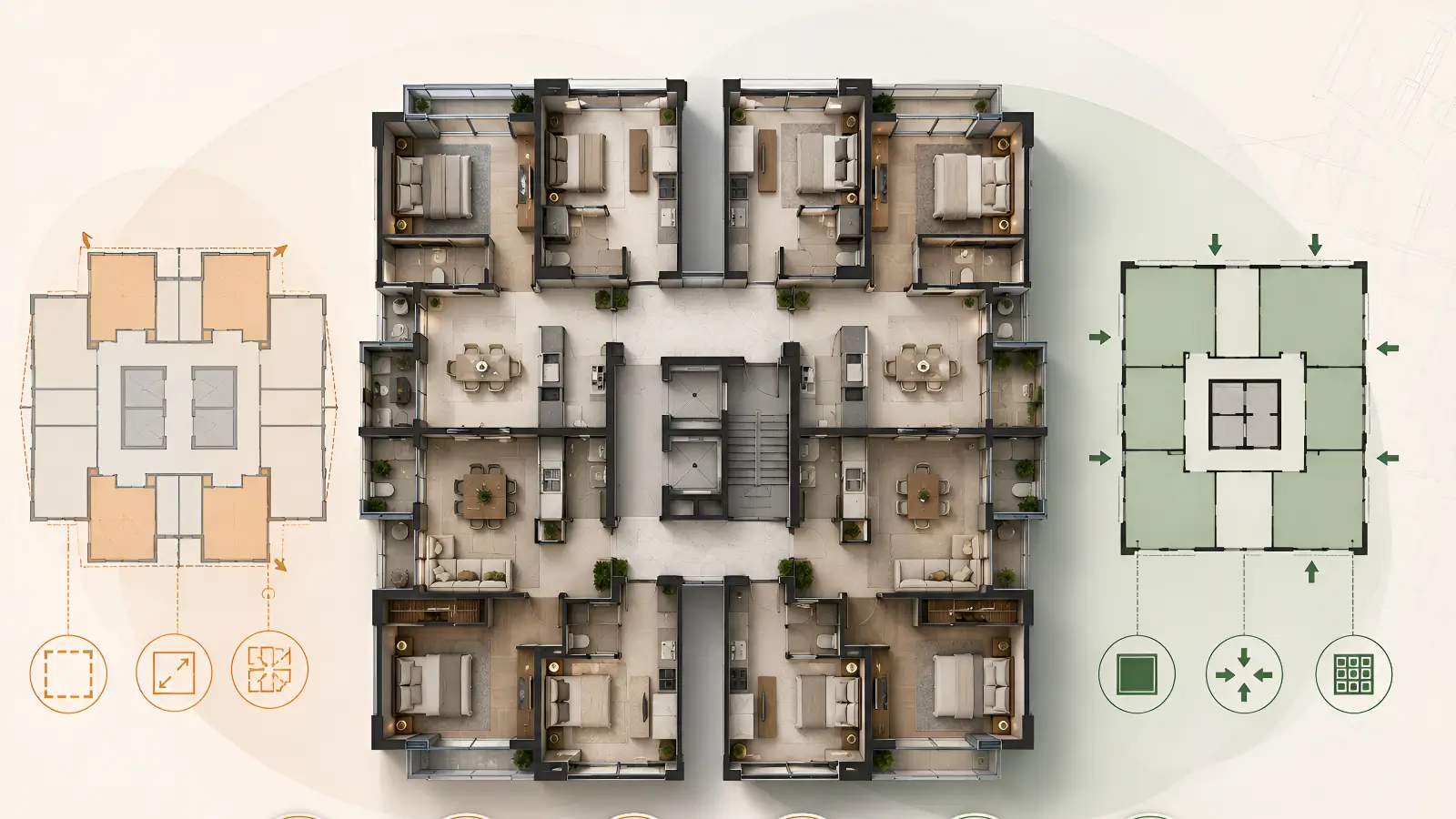
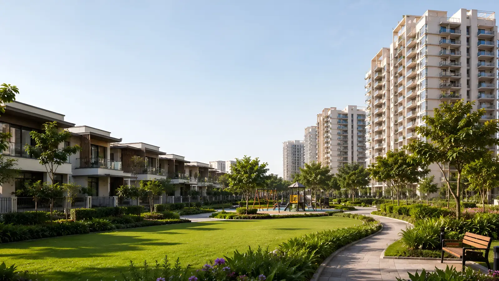
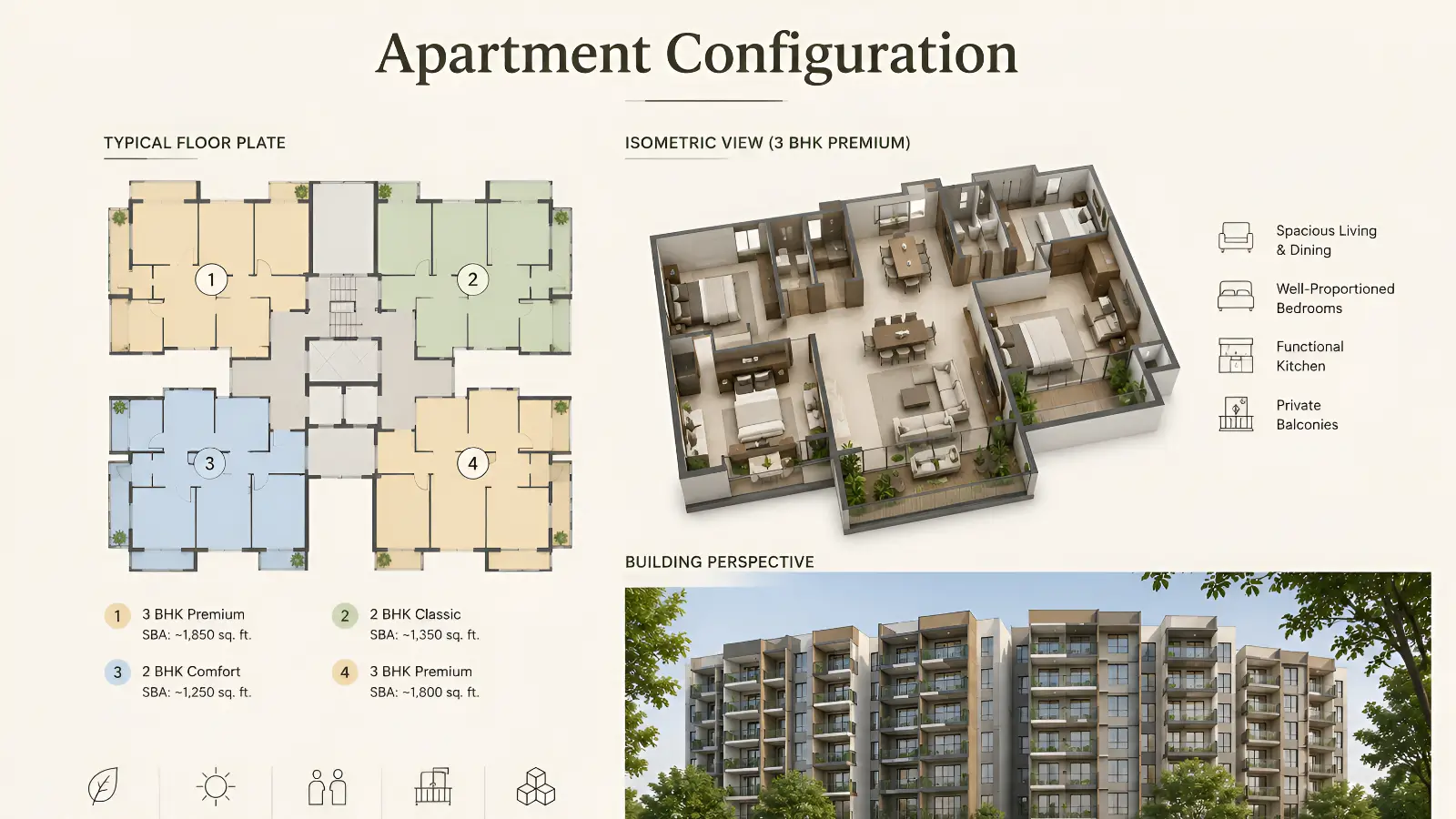
The 85-acre Embassy Biome Southern Reserve master plan distributes land use across three principal categories. The 50-acre central enclave houses 218 ultra-luxury villas. The 14-acre perimeter parcel houses 855 premium apartments across 8 towers. The remaining 21 acres are dedicated to shared infrastructure — the 19-acre landscape spine, the 40,000 sq.ft. signature clubhouse, internal roads, and utility infrastructure. The allocation creates clear separation between villa, apartment, and shared uses while maintaining cohesive precinct-scale circulation.
The 80-Foot Spinal Road Logic
An 80-foot wide spinal road threads the precinct as the primary vehicular circulation backbone. Wider road geometry means quieter daily traffic flow, slower vehicular speeds within the precinct, easier visitor and service navigation, and better pedestrian-vehicular separation. Most North Bangalore developments operate on 40 to 60-foot internal roads. The 80-foot Embassy Biome Southern Reserve specification reads as a master plan luxury that residents feel daily during arrivals, departures, and circulation moments.
Cohort-Specific Infrastructure
Each cohort within Embassy Biome Southern Reserve carries dedicated infrastructure sized for peak-hour throughput. Villa entry gates are separate from apartment entry gates. Service circulation routes are distinct from resident vehicular paths. Visitor management infrastructure sits at the precinct gate rather than at individual buildings, keeping daily arrival experiences serene. The cohort-specific approach means villa owners never experience apartment-tower lobby traffic, and apartment owners never face villa-enclave gate procedures.
Conclusion
The Embassy Biome Southern Reserve master plan converts an 85-acre parcel into a structurally integrated residential precinct through deliberate land-use distribution, the 80-foot spinal road infrastructure, and cohort-specific circulation logic. For buyers, request the latest master plan PDF from the sales team, verify sanctioned dimensions against marketed claims once K-RERA registration completes, and walk the planned routes between key destinations to validate the master plan operationally rather than only diagrammatically.
Related Pages
Explore the master plan, the floor plan section, or schedule a site visit at the experience centre for further diligence. For related reading, see Site Visit Checklist for Embassy Biome Southern Reserve at Embassy Knowledge.
FAQs
Q1. How is land distributed within the Embassy Biome Southern Reserve master plan?
The 85-acre master plan is divided into three key zones: a 50-acre central villa enclave, a 14-acre apartment parcel with 855 residences across 8 towers, and approximately 21 acres dedicated to shared infrastructure, including the landscape spine, clubhouse, roads, and utility services.
Q2. What is the significance of the 80-foot spinal road?
The 80-foot spinal road serves as the primary circulation backbone of the township, enabling smoother traffic flow, improved pedestrian safety, easier visitor navigation, and a more spacious residential environment compared to conventional internal road networks.
Q3. How does the master plan separate villas, apartments, and shared amenities?
The master plan uses dedicated entry points, distinct circulation routes, and clearly defined residential zones to create privacy and operational efficiency while ensuring all residents enjoy convenient access to common amenities and open spaces.
Related Articles
Embassy Biome Southern Reserve 4 BHK Villa vs 5 BHK Villa — Configuration Comparison
Embassy Biome Southern Reserve 4 BHK villa vs 5 BHK villa comparison — space, configuration, household fit, and ticket size analysis.

Embassy Biome Southern Reserve Garden Block vs Sky Block — Apartment Tier Comparison
Embassy Biome Southern Reserve Garden Block vs Sky Block apartment tier comparison — view orientation, accessibility, pricing differential analysis.
Embassy Biome Southern Reserve Villas vs Apartments — Which Format Fits Your Profile
Villas vs apartments at Embassy Biome Southern Reserve — buyer profile comparison framework across ticket size, household structure, and lifestyle pattern.
Embassy Biome Southern Reserve 3 BHK vs 3.5 BHK Apartment — Configuration Comparison
Embassy Biome Southern Reserve 3 BHK vs 3.5 BHK apartment comparison — space, room flexibility, household fit, and ticket size differential.